She sure is a big one and so are the high tides.
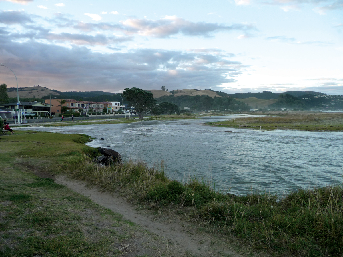
This week’s super moon event brings a series of king tides on Waikato’s coasts, raising high tide levels to 100-year peaks (not counting potential sea level rise due to climate change or storms).
Waikato Regional Council is keen for citizen photographers to send in their snaps to help staff build their understanding of where the tides reached to in such extreme conditions.
“We’d really appreciate any photos that people took so that we can document what’s happening and get a clearer picture of potential coastal hazards,” said senior regional hazards adviser Rick Liefting.
The highest tides over the week on the west coast were on Tuesday, November 15, around 10.45am and yesterday, November 16, around 11.30am. On the Firth of Thames coasts they were yesterday at around 9am and today at around 10am. On the east coast of the Coromandel they’ll occur today at around 9.30am and tomorrow around 10.30am.
People can email their photos along with their observations and locations to coastalinundationtool@waikatoregion.govt.nz.
They can also use the council’s coastal inundation modelling tool to see where the king tides were likely to reach. It’s available at www.waikatoregion.govt.nz/coastal-inundation-tool/
“The ‘Max Tide’ figures on that site show maximum high tides levels, not taking into account any storm or wave effects and they also don’t account for any projected sea level rise under global warming. However, the tool can be used to see what impact future projected rises in sea level may occur. The king tides this week are expected to be at around those ‘Max Tide’ levels due to the super moon’s impacts,” said Mr Liefting.
He said the council’s regional hazards team would issue advice if the king tides were likely to coincide with weather or wave conditions that would lead to any heightened risks for communities. Waikato Regional Council
